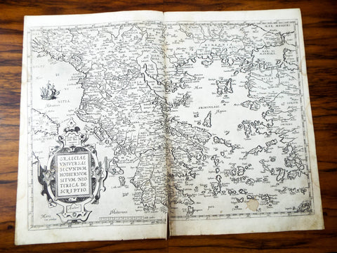
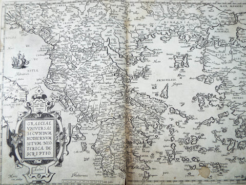
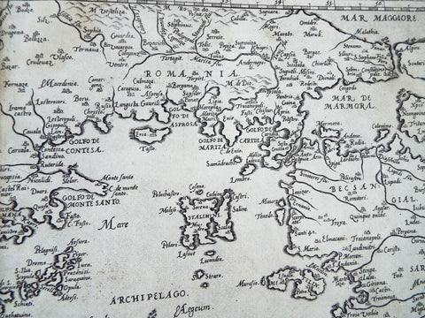
Original 16th C Map Of Greece ~ 1573 ~ Graeciae Regni Potentiss Ortelius
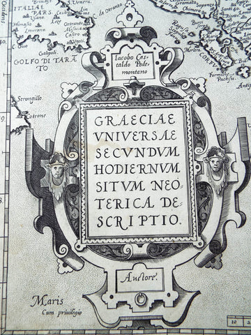
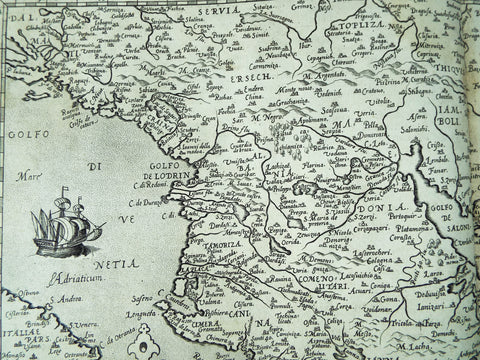
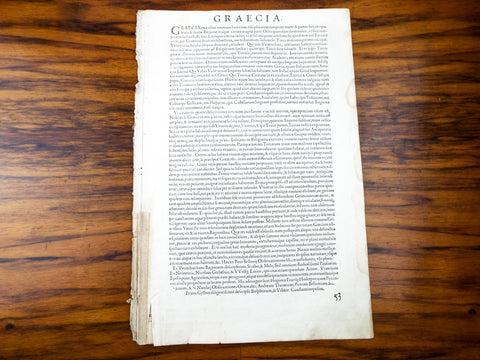
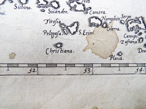
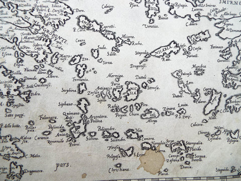
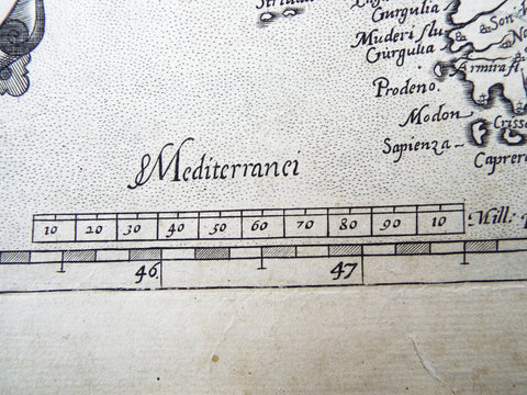
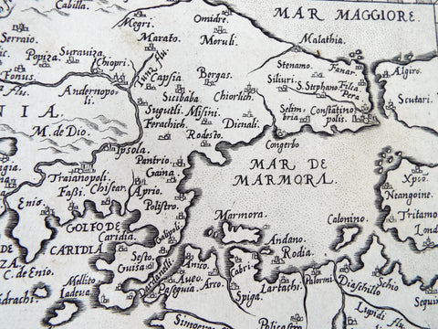
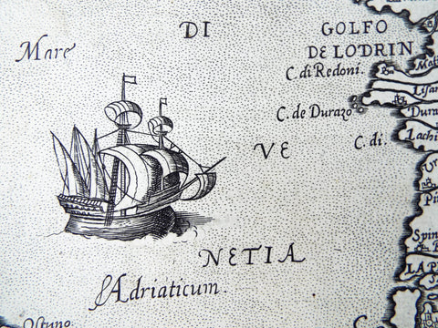
Antique original 16th C map of Italia / Italy from the book Theatrum Orbis Terrarum. Printed by Francis Hogenberg in 1573 at Antwerp the maps are tipped onto stubs at the centerfold. This map is of Greece. The legend of this map names the author whose map Ortelius adapted, in this case Iacobo Castaldo (Giacomo Gastaldi). This richly engraved map is filled with topographical features and numerous cities. The large strapwork cartouche contains text, a coat of arms is displayed in the stipple engraved sea
Part of a larger atlas book which was disbound and incomplete when found. This version contained 70 individual maps with 102 contributing cartographers to its catalogue auctorum. In the preface Ortelius credits Franciscus Hogenberg with engraving nearly all the maps. The 1573 Additamentum to the atlas is notable for containing Humphrey Llwyd's Cambriae Typus, the first map to show Wales on its own.
A great addition to your rare antique map collection.
MEASUREMENTS
Map unfolded measures viewer measures 16" tall by 20.75" wide and weighs 2oz.
CONDITION
In fair condition considering age and use. The paper shows signs of age and has staining and discoloration throughout particularly on the edges. There is some tape on the bottom edge and one large brown spot on the bottom left inside the map (please see all pictures as they form part of the condition description).
Click Here to see our shipping, returns and refunds policy
Feel free to contact us if you have any further questions about this item.
We Also Recommend